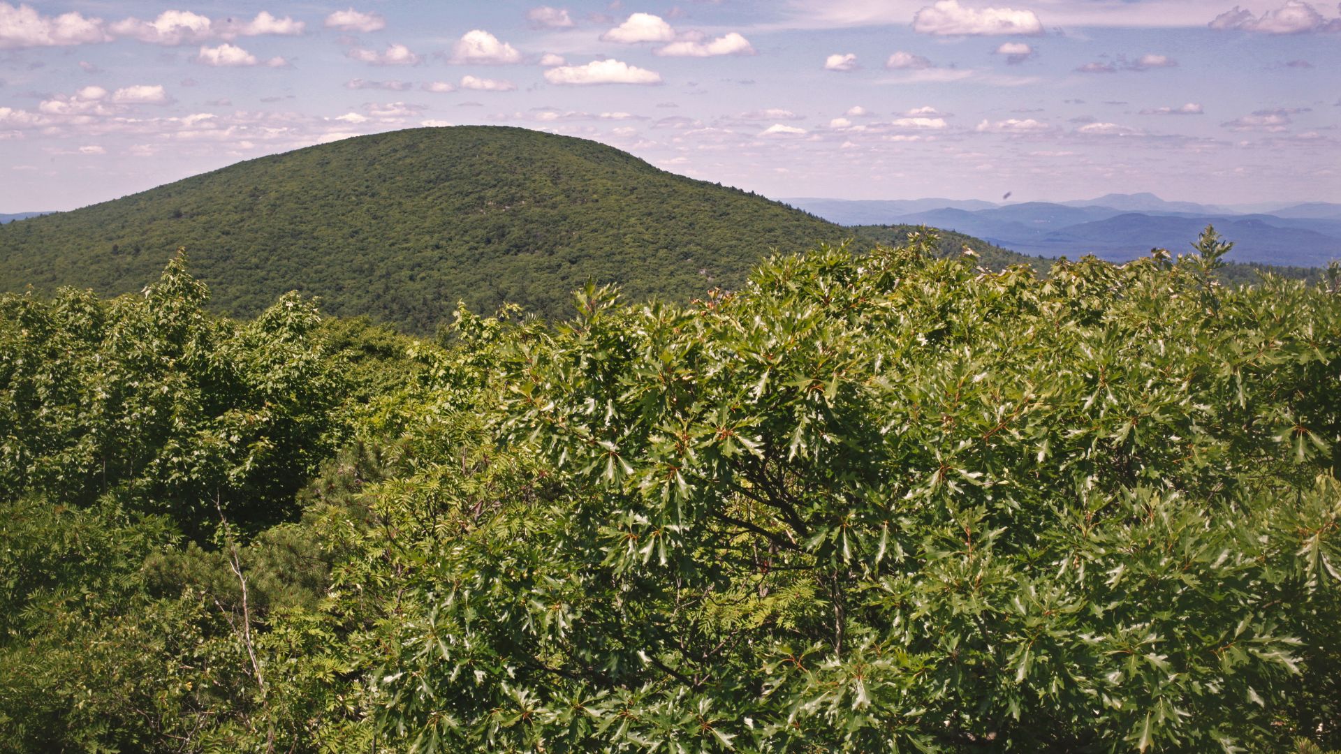
The next time you visit the Berkshires, plan some time to explore Mount Everett State Reservation. Located in the extreme southwest corner of the state, where Massachusetts intersects with Connecticut and New York, this state-owned gem is part of the Taconic Range. One of the highest mountains in Massachusetts, second only to Mt. Greylock, Mt. Everett (2,602 ft) is known for its old-growth forest and spectacular views.
Several trails lead to the mountain peak, sometimes referred to as “The Dome of the Taconics.” Choose your route based on skill and experience. Some trails, like the Guilder Pond and Mount Washington Lookout Trail, are moderately challenging. But other more difficult treks require scrambling over rocks and encountering steep inclines. Be prepared for any hike you set out on, and remember the Leave No Trace Principles. Let’s take a closer look at your hiking options.
Race Brook Falls and Mount Everett
6.5 Miles | Hard | 2,214 ft Elevation Gain
Race Brook Falls and Mount Everett Route Overview
Plan to complete this very challenging trail in at least 4 – 5 hours. The rewards for attempting it include a side spur to a waterfall and fantastic birding.
Race Brook Trail to Mount Race
5.7 Miles | Hard | 1,676 ft Elevation Gain
Race Brook Trail to Mount Race Route Overview
This out-and-back trail begins near Sheffield and will require 3 – 4 hours of strenuous hiking. It’s a popular hiking trail located in an area well-liked for camping.
Guilder Pond and Mount Washington Lookout Trail
4.0 Miles | Moderate | 951 ft Elevation Gain
Guilder Pond and Mount Washington Lookout Trail Route Overview
Located near Copake Falls in New York, this loop trail attracts plenty of hikers out for a moderate hike to a natural body of water and panoramic views.
Mount Race and Mount Everett via Race Brook and Appalachian Trail
7.6 Miles | Hard | 2,480 ft Elevation Gain
Mount Race and Appalachian Trail Route Overview
This is one of the more challenging climbs to one of the tallest mountains in Massachusetts. Once you’ve reached the junction of Race Brook and the Appalachian Trail, you’ll head south to the summit of Mt. Race, then turn north to reach Mt. Everett.
Mount Everett, Bear Mountain, and Alander Loop
17.5 Miles | Hard | 4,104 ft Elevation Gain
Mount Everett, Bear Mountain, and Alander Loop Route Overview
It’s best to tackle this route by backpacking over multiple days within the dense forest. This loop trail will cover several peaks and is very popular with experienced hikers.
Jug End Mountain via Appalachian Trail
1.4 Miles | Moderate | 587 ft Elevation Gain
Jug End Mountain Route Overview
If you want to claim bragging rites for hiking the Appalachian Trail, try this out-and-back route that requires just a little over a mile of hiking, though the terrain can be rocky and steep.
Elbow Trail via Appalachian Trail
3.9 Miles | Moderate | 1,200 ft Elevation Gain
Elbow Trail Route Overview
Though relatively short, this trail is steep in sections and crosses a bit of the Appalachian Trail en route to Jug End, where you’ll find incredible views.
Dave Chapin Trail
1.8 Miles | Moderate | 1,128 ft Elevation Gain
Dave Chapin Trail Route Overview
While this hike may take under 2 hours to complete, it can be very steep and rocky as you near the summit.
In addition to hiking, Mount Everett State Reservation offers canoeing and kayaking on Guilder Pond, as well as camping and fishing. In the winter, avid hikers head there to cross-country ski and snowshoe.
So, the next time you’re up for an adventure, explore Mount Everett State Reservation. It’s a short drive from our charming bed and breakfast in Lee, MA, and well worth the trip for a great adventure in the rolling hills of the Berkshires.
Book now and begin planning your great adventure. We can’t wait to host your stay!


